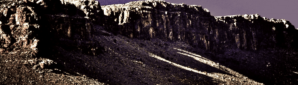
There is a spectacular drive up to Jebel Shams in Oman – very popular because it takes you up to one of the highest points in the Hajar Mountains.
So many tourists visit that the road has been paved, little hotels have sprung up, and stalls sell trinkets (even rocks with peculiar shapes or colors! These tourists will buy anything!!)
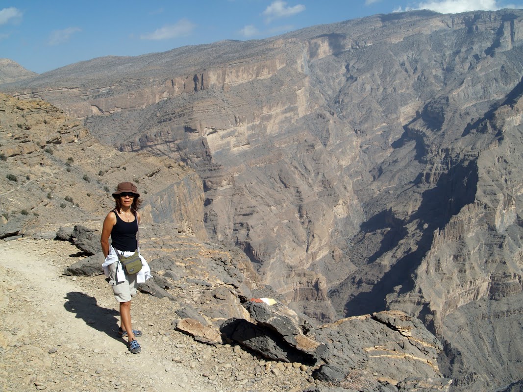
But what most visitors don’t know is that there is a phenomenal hike just a few meters down from the main look-out point; and so they admire the views without realizing what they are missing.
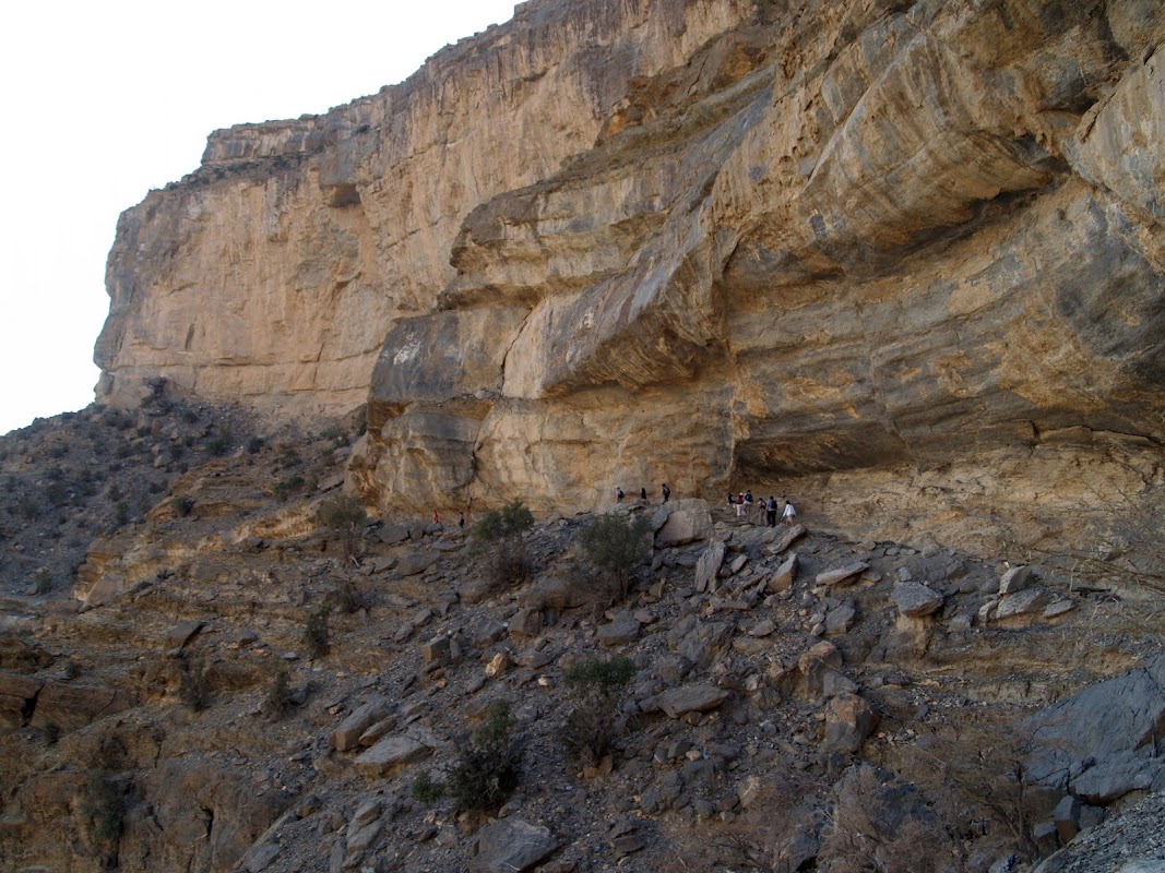
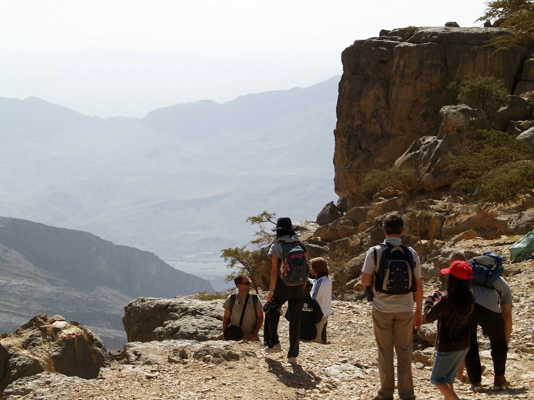
The hike is easy as almost all is flat ground. As you can see in the above photo it is marked with yellow-white-red paint and the walking track itself is around a meter wide. The youngest on our hike was 7, and the oldest 64: neither had any difficulty.
Yes, it does run along the side of a gigantic canyon drop – so a few meters to your side will be a very scary precipice!
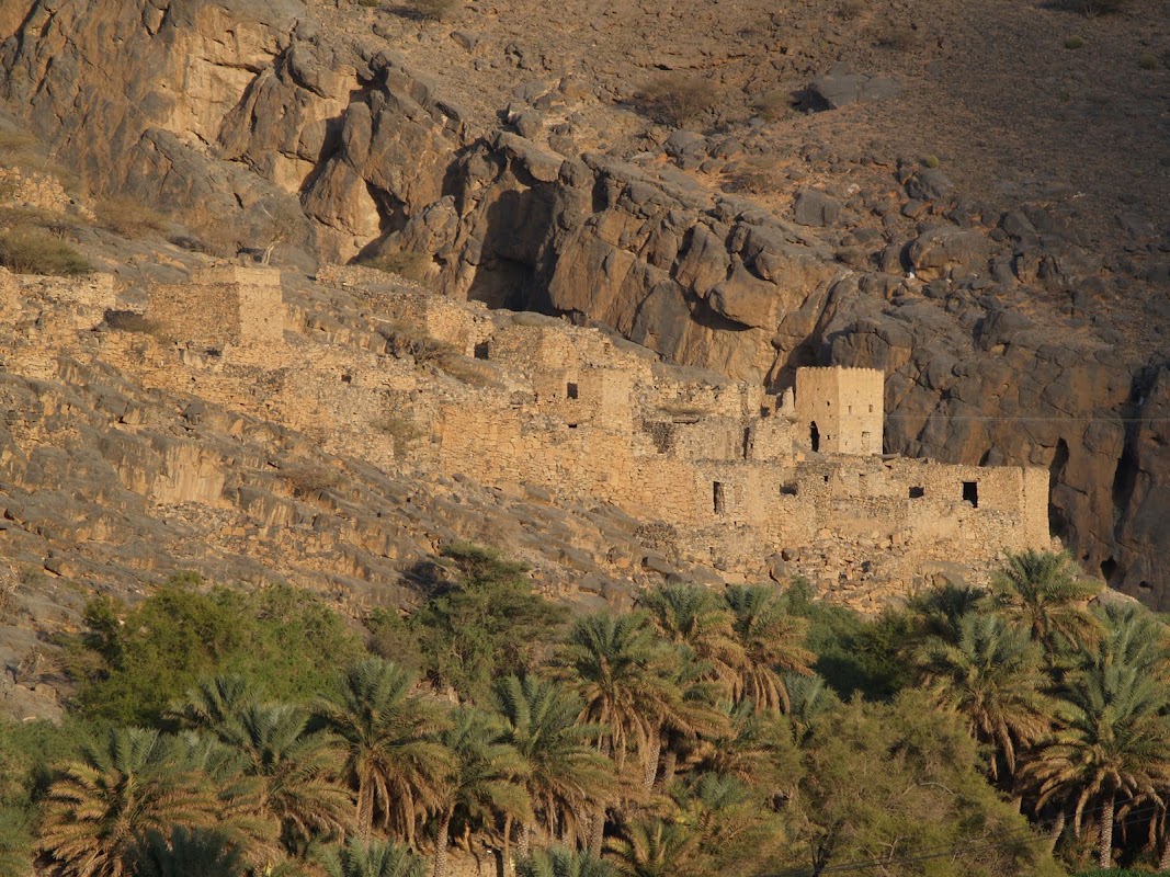
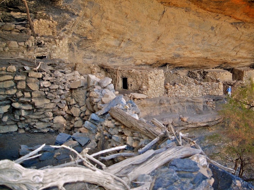
Let’s start down in the valley, where an abandoned mud village is camouflaged and can be easily missed as you zoom past by car.
(The GPS track provided below will show you all these locations)
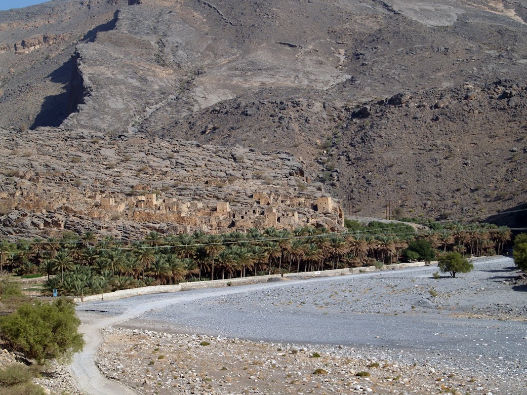
It’s always interesting to take a break and explore an old village such as this one – you never know what you’ll find!
At the top of Jebel Shams, once the car is safely parked near a small village – here is the exact start of the hiking trail.
If you didn’t know, you’d just admire the view, walk right past it and get back in your car. In the photo, you can see the red-white-yellow paint on the rock in the bottom-left.
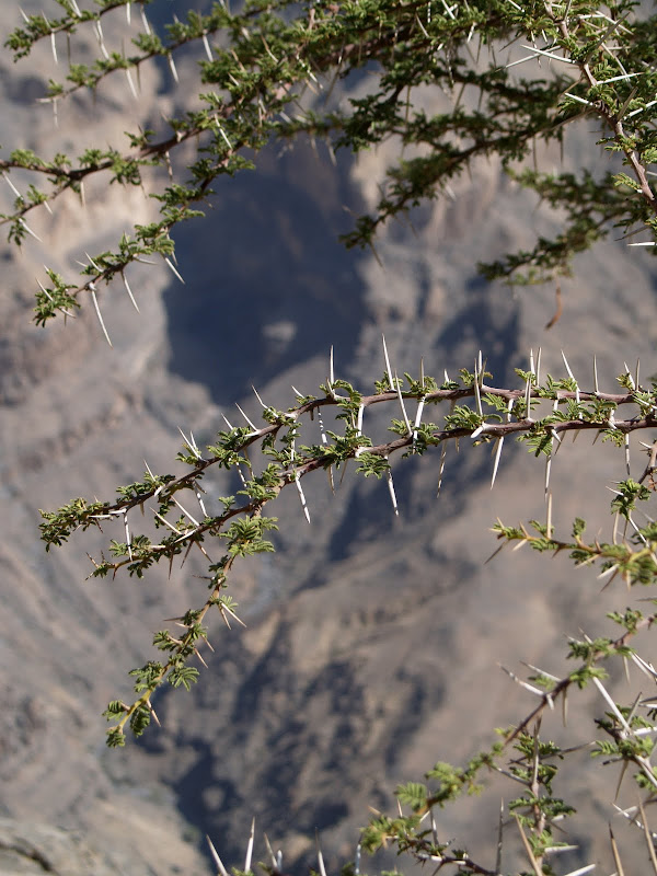
There are surprisingly many plants and animals that call Jebel Shams home.
Here are the reptiles an enthusiast photographed during his trip to this area: Reptile Photos 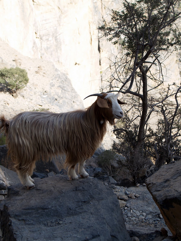
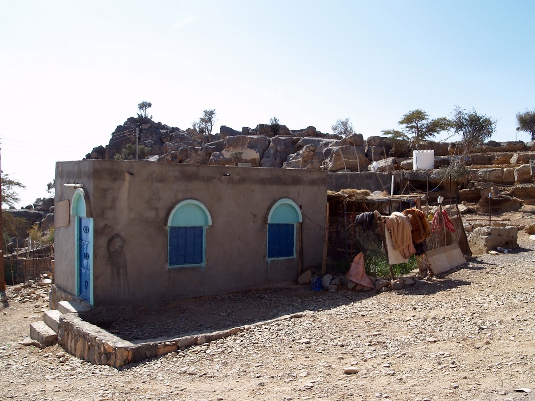
The hike is at most an hour’s walk, and back. At the end of the path there is a very small collection of rock huts, which is where the villagers would flee to if attacked.
With only a single-file path in, it was easy to fight off even numerous enemies.
We have been told there is a waterfall past the rock huts, as well as a via ferrata (rock-climbing route) but we didn’t venture far enough to see them – but we will next trip!
At the top of Jebel Shams, camping is possible but it is very exposed – in winter it has been known to snow, and at 2000 meters altitude it does get very cold. In summer temperatures will be less than down in the plains.
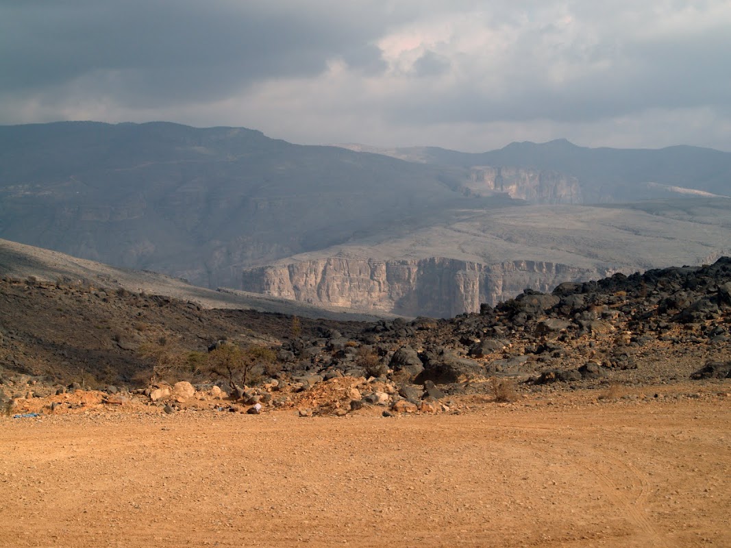
However, we prefer to drive to a less touristy area for our camping. Here is the view from a nearby mountain, where camping will be much more convenient.
Just follow the GPS track and map below!
Download the KML file for your GPS by clicking here. Once downloaded, you can import the file into your GPS device and take it on the road, or double-click that file and it will open automatically in Google Earth if you have that installed (all adventurers should! Google Earth).
View Jebel Shams Hike in a larger map
View a pdf file of the original article, as published in The National.
My disclaimer is here.