Download the KML file for your GPS by clicking here. Once downloaded, you can import the file into your GPS device and take it on the road, or double-click that file and it will open automatically in Google Earth if you have that installed (all adventurers should! Google Earth).
And here is an interactive map of the route.
View Salalah, Oman in a larger map
Not to put you off, but this trip involves a 1,200km drive across the most desolated desert you’ll ever experience. You might wonder if it really worth it… well, see the photos and check the temperatures, then you decide. We’ve been twice already!!!
And if I were thinking about where to drive for summer, this trip would be my top choice.

Go with good friends.

Go with good cars.

And go at the right time of year.
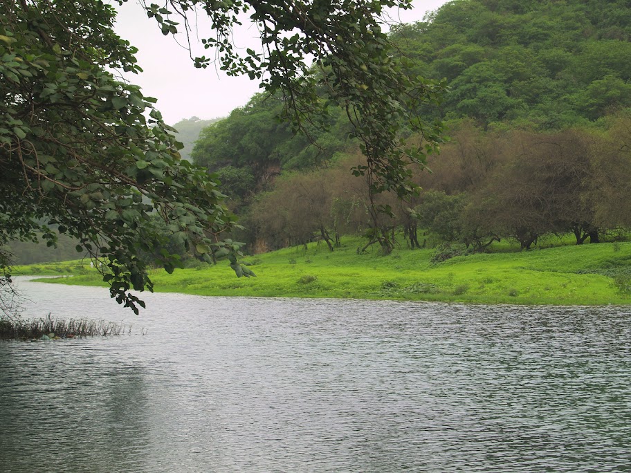
The monsoon season, the “Khareef” in Arabic, only happens during the summer months, from June to September – that’s the only time that the mountainous region of Salalah turns a beautiful green.
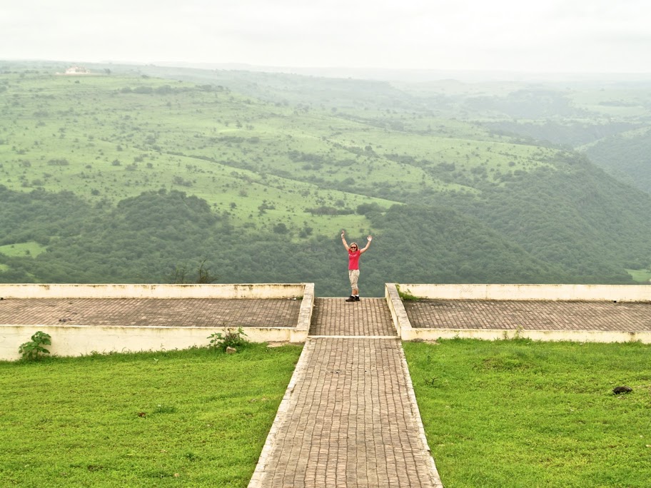
The expected weather for July and August, according to the historical averages on myweather2.com are daily temperatures of between 20-30c, with average low of 24c and high of 27c; rain or drizzle is expected on 24 days in July and 27 days in August, with precipitation in those months of 24mm and 57mm respectively, with September’s rainfall back down to 3mm.
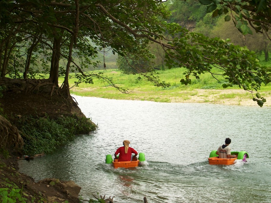
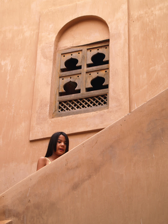
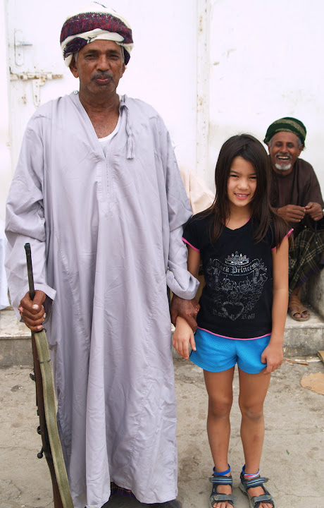
Take some time to explore the culture and meet the people (photo below by Melissa Royle-Guimaraes).
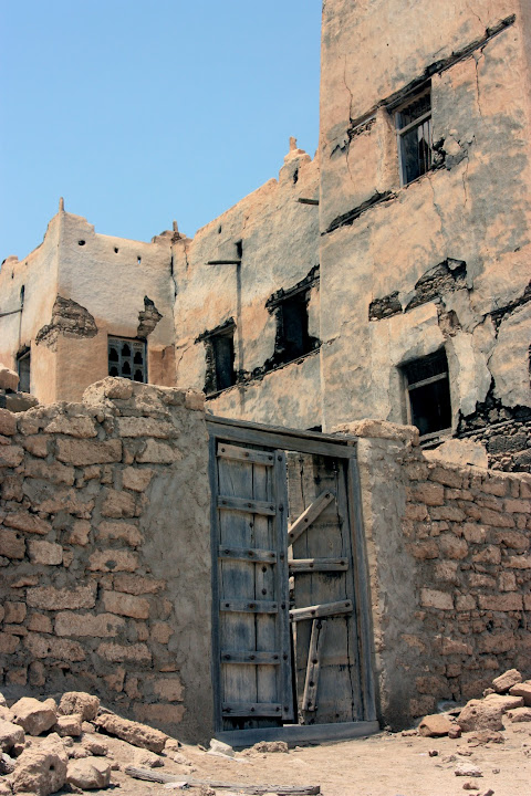

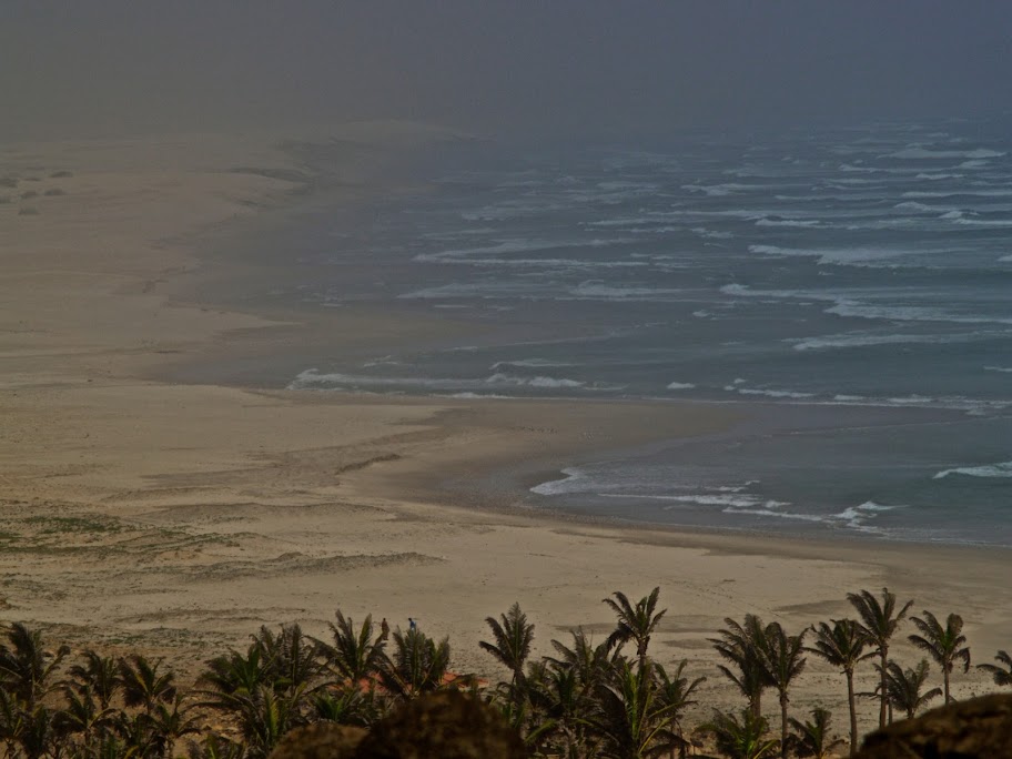
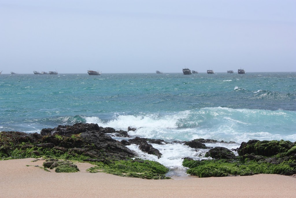
And enjoy the powerful ocean.
And if you get stuck – push with a smile!!!

Above all else, marvel at what the monsoon can do.
Please read the original article published by Gulf News.
Please make sure you read the Disclaimer and plan your trips with due care.
